Projects
Climate Observatory
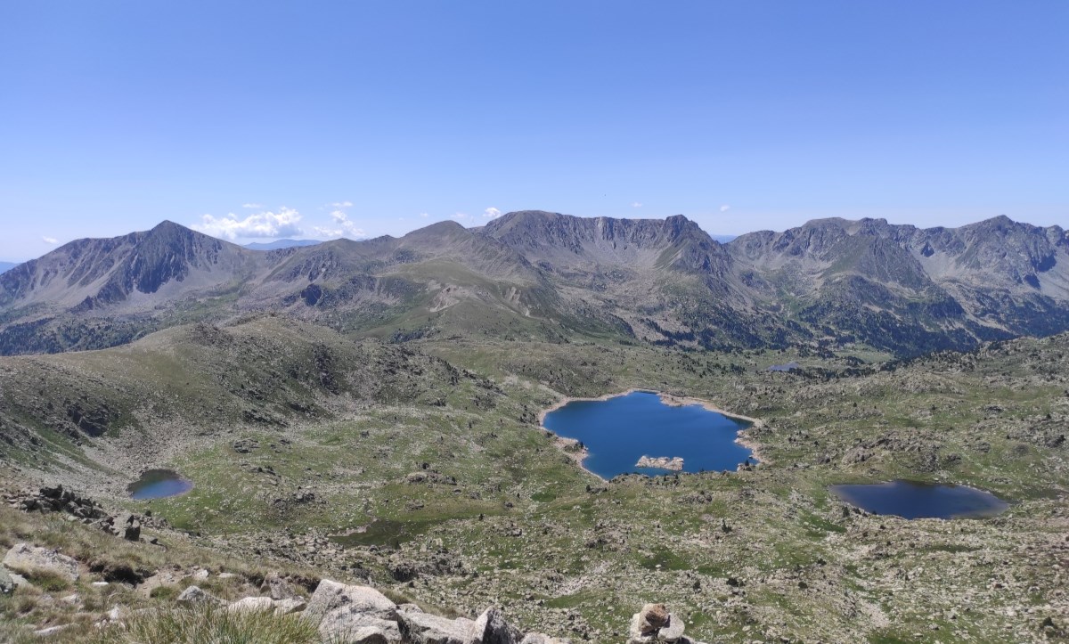
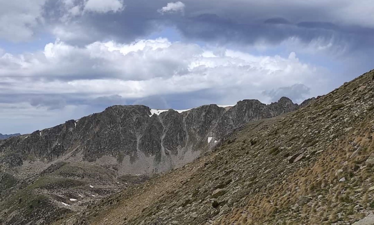
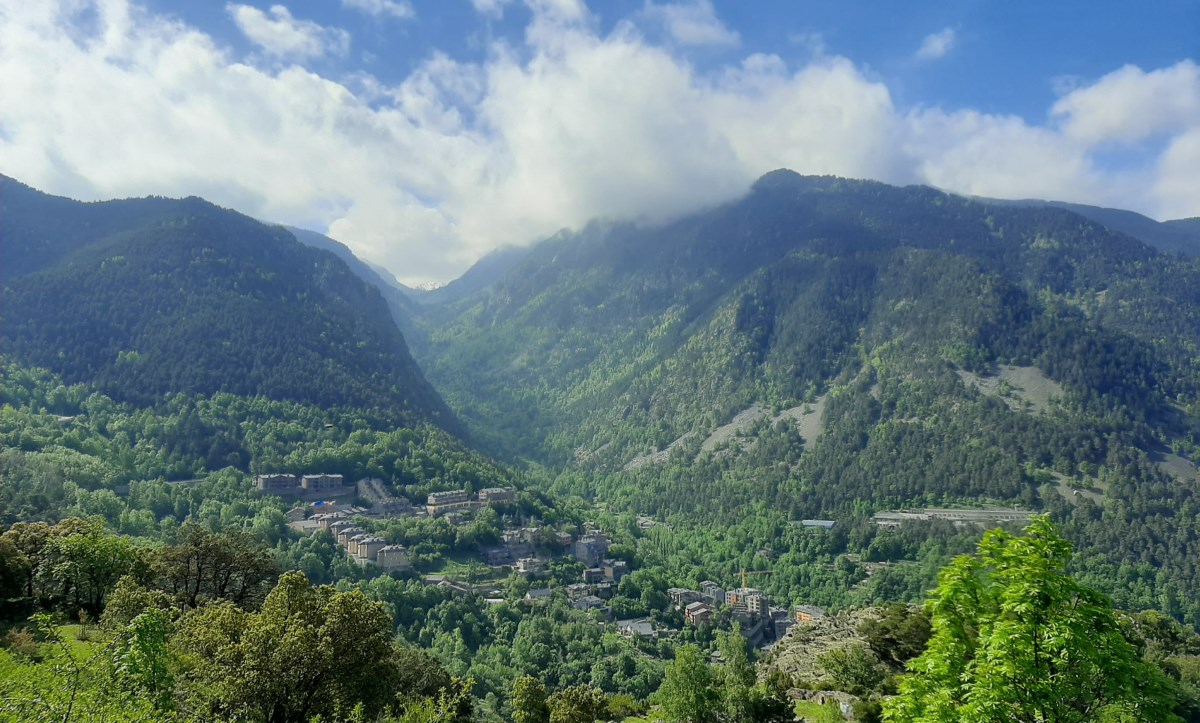
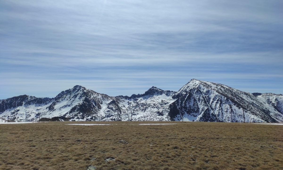
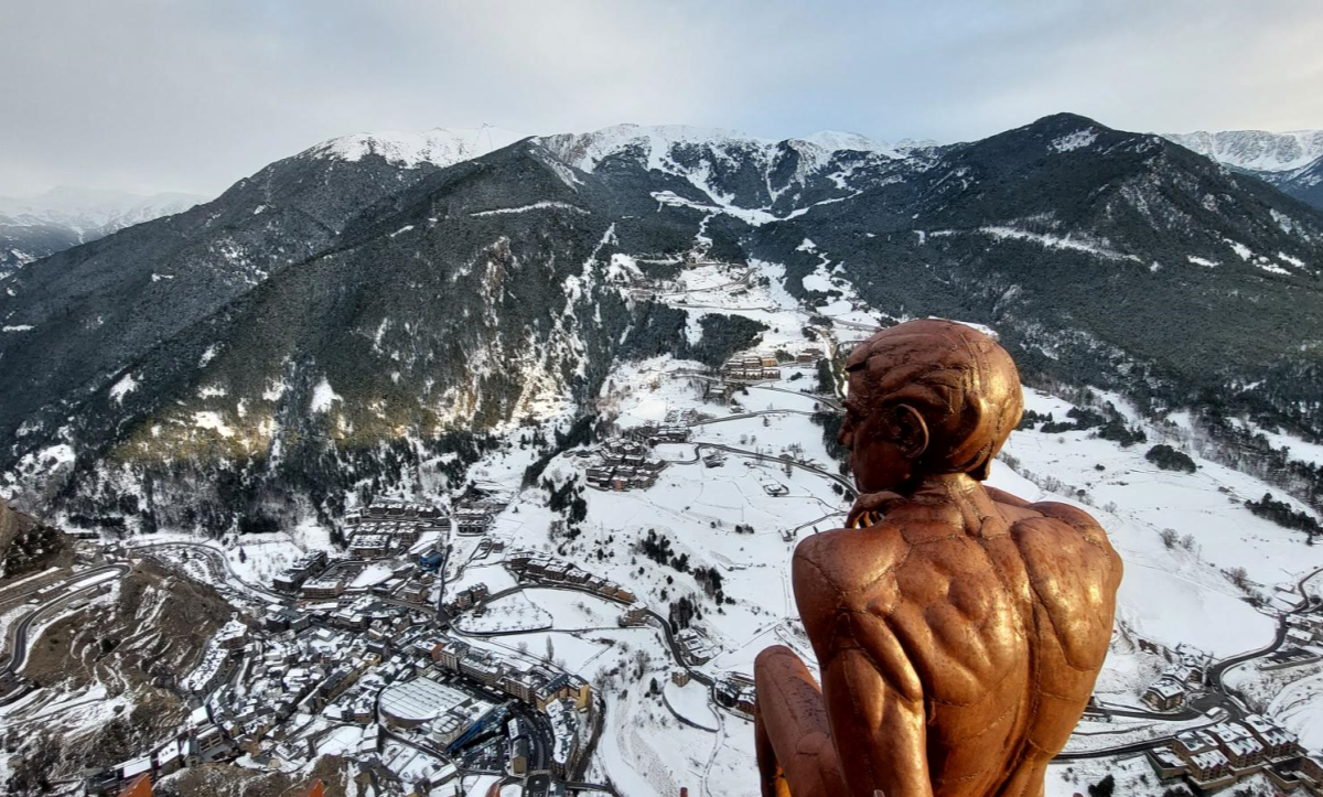
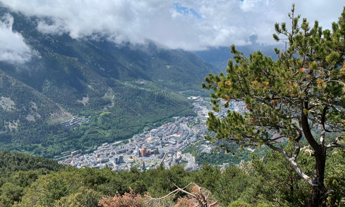
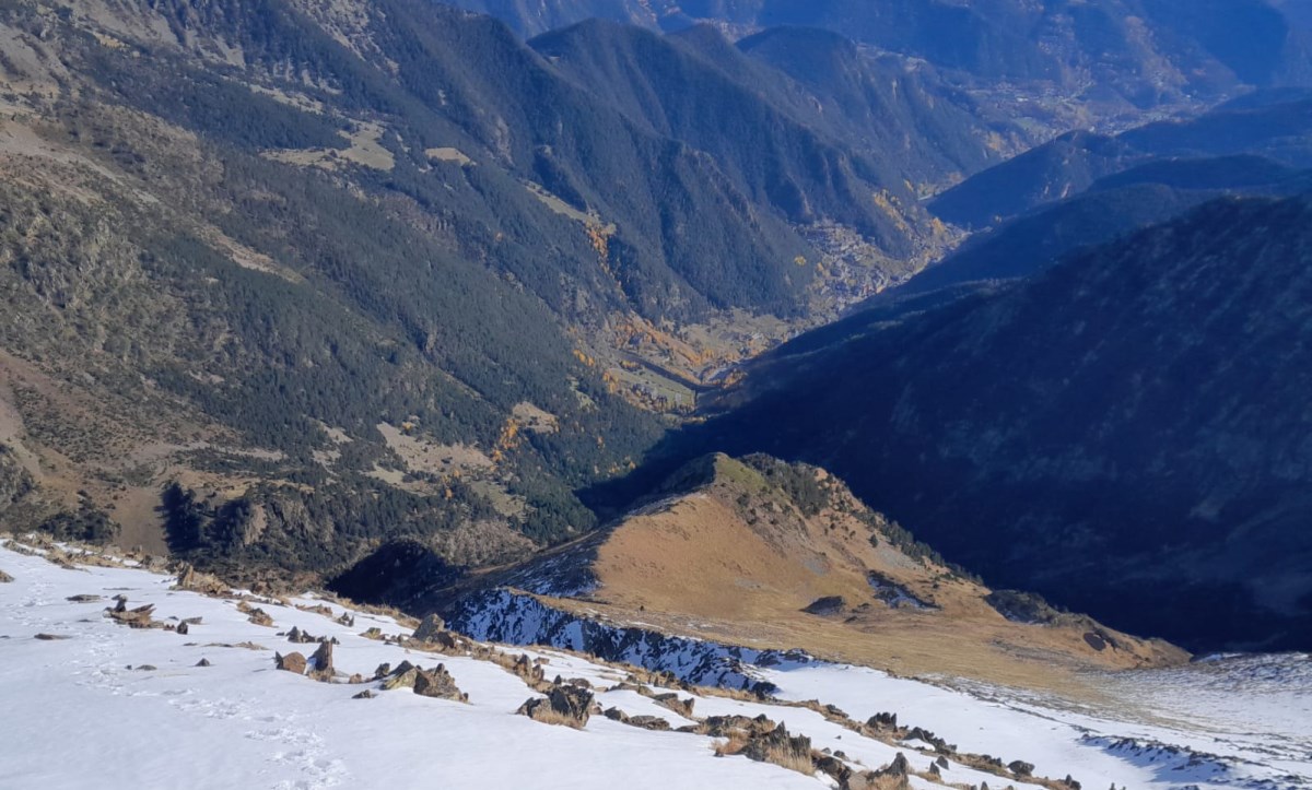
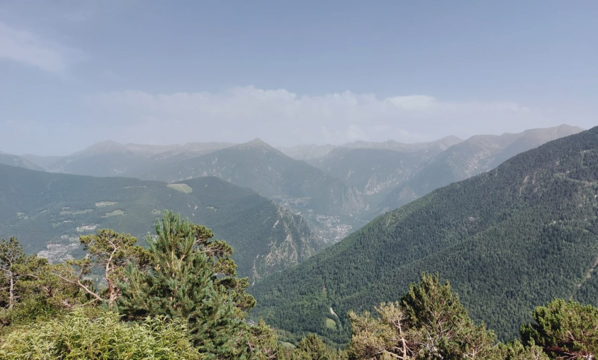
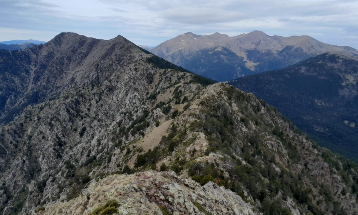
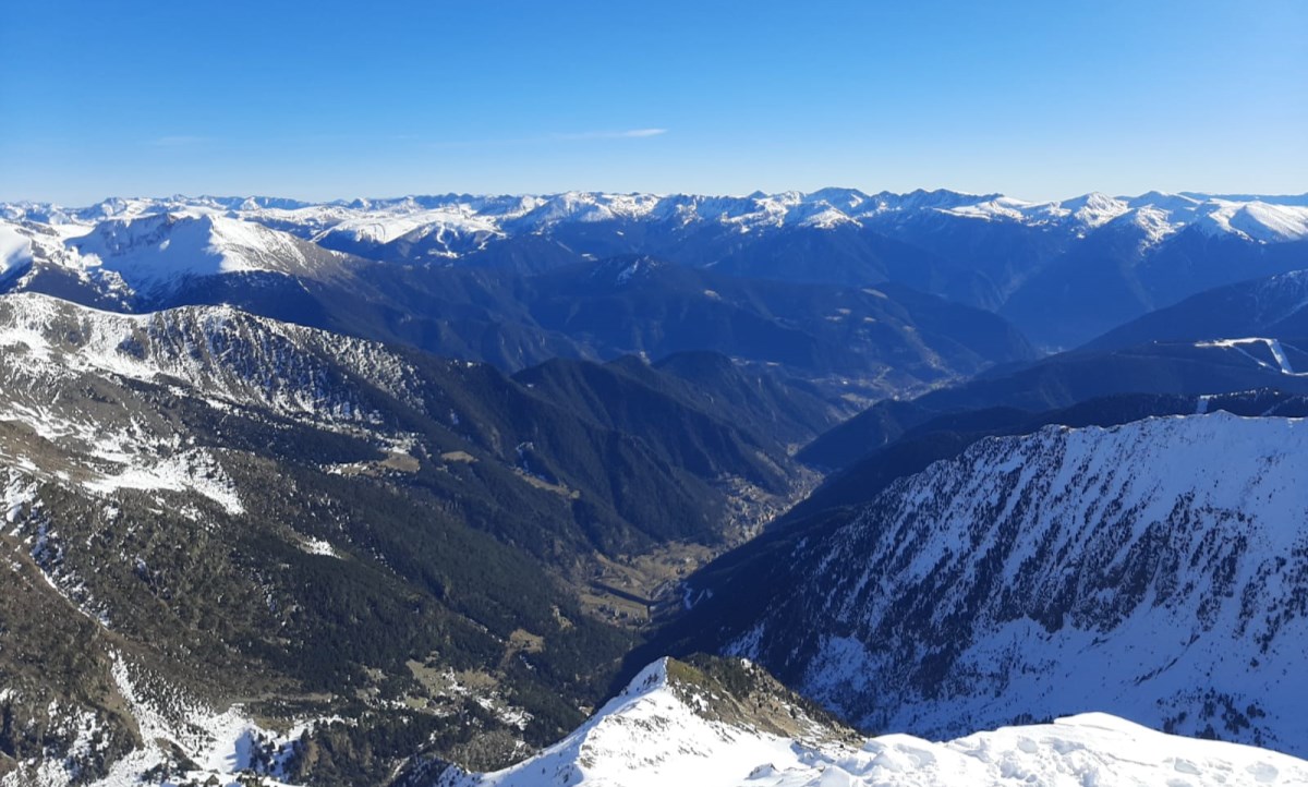
The Climate Observatory provides climate services with maps and graphics to help understand and track Andorra’s climate.
 Anna Albalat
 Laura Trapero
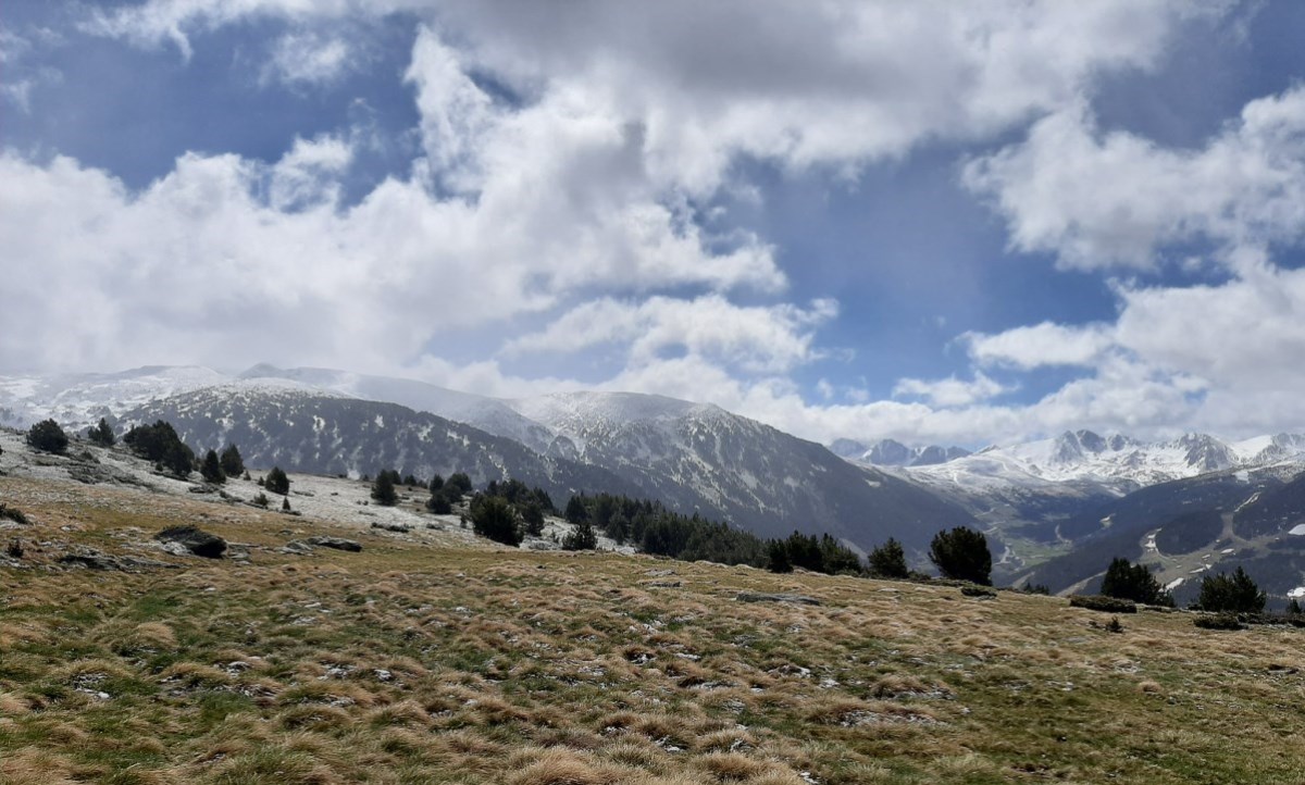
The climate services developed by Andorra Recerca + Innovació aim to answer common questions from the public —such as how the country’s climate is evolving— and to provide accessible tools for climate monitoring.
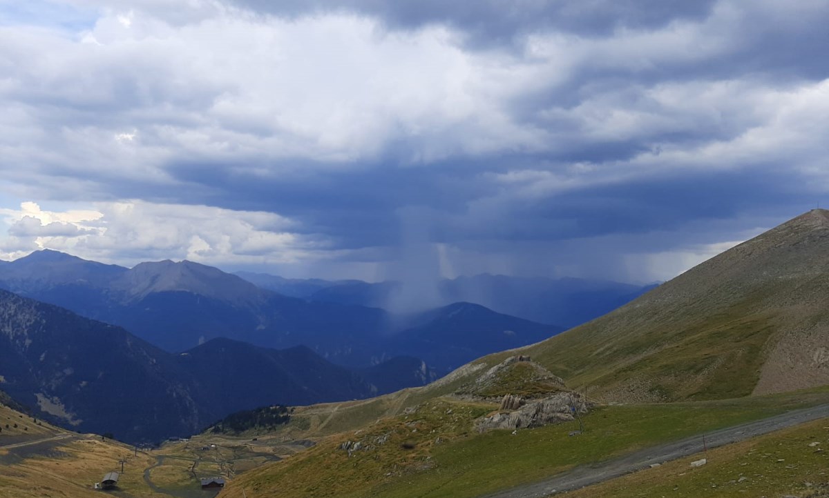
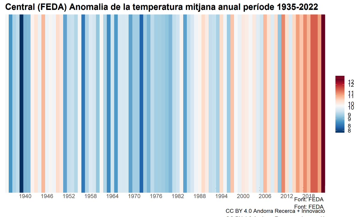
Climate information is presented on a monthly, seasonal and annual scale, and can be delivered through maps or graphics. The cartography shows the spatial distribution of temperature, precipitation and climate anomalies, and is produced using data from the national meteorological station network (SMN, FEDA, AR+I), compared with the Andorra Digital Climate Atlas (ACDA, www.acda.ad).

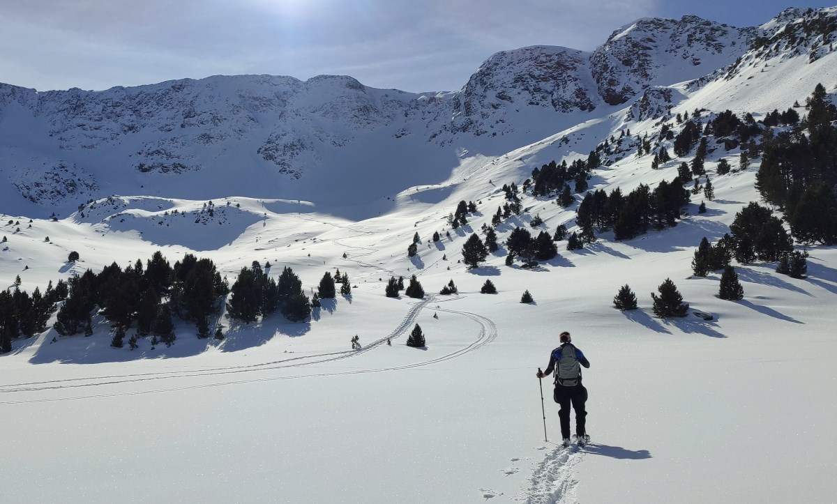
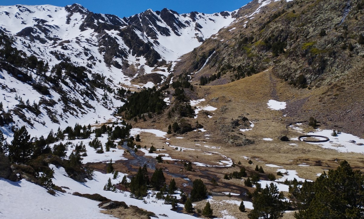
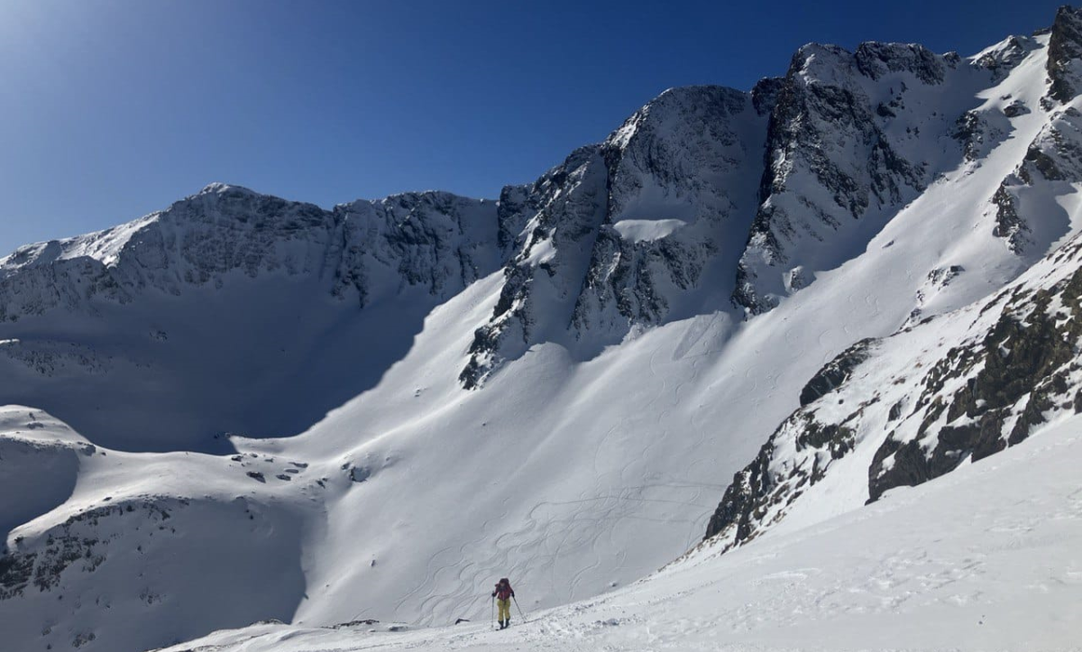
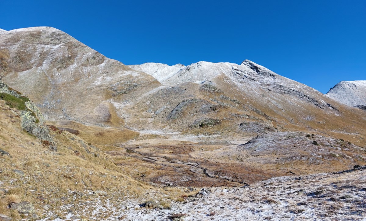
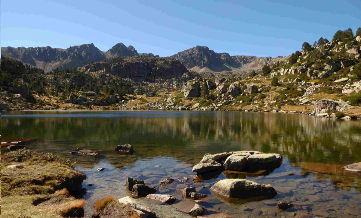
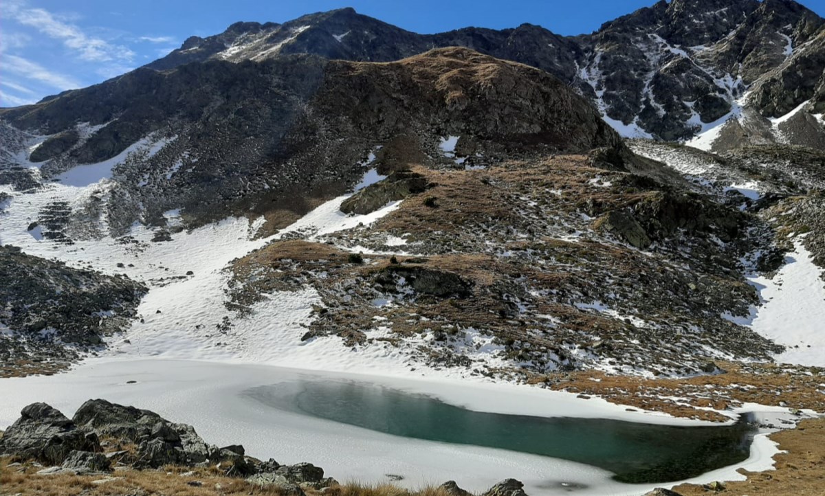
Climate monitoring at specific locations across the country is complemented with graphics of temperature, precipitation and snow depth from the available stations. The analysis of these variables supports various Andorra Recerca + Innovació projects, such as the water balance report and maps, snow and weather monitoring, and ecosystem monitoring, among others.
An example is the snow and weather report produced for the 2024–2025 season, which includes the main snow-related climate indicators.
Overall, this project provides Andorra with climate-mapping tools and graphical resources that help characterise and monitor the state and evolution of the country’s climate.