Projects
Natural Risks database
Database of events that have occurred in Andorra and have caused damages.
Start date: 01/01/2006
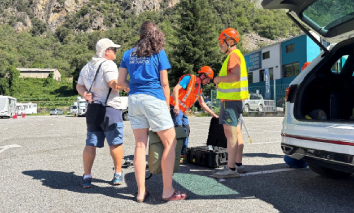
Team:
 Aina Margalef
 Anna Albalat
 Anna Echeverria
 Laura Trapero
 Marc Pons
Meritxell Martin
Marc Pons
Meritxell Martin
 Natàlia Gallego
Raül Mas
Natàlia Gallego
Raül Mas
 Meri Reazo
Aina Margalef
Anna Albalat
Anna Echeverria
Laura Trapero
Marc Pons
Meritxell Martin
Natàlia Gallego
Raül Mas
Meri Reazo
Work strands:
Natural risks
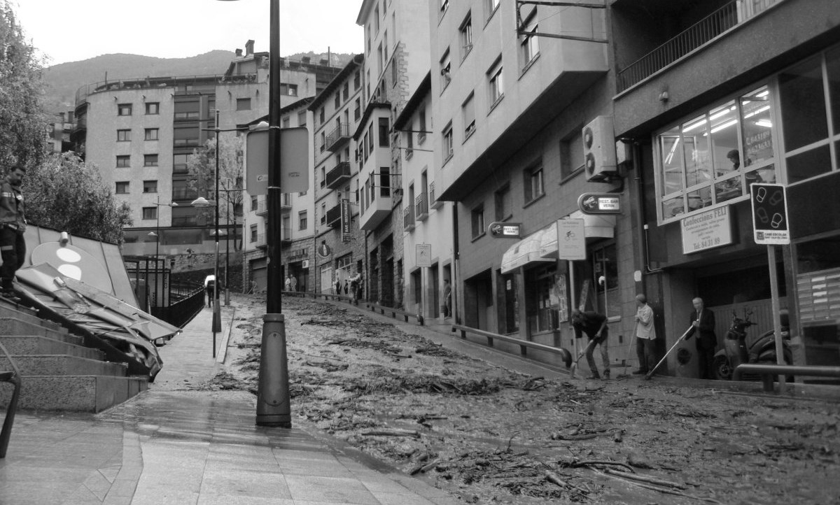
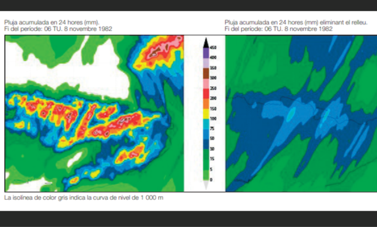
The events that have caused damage - both past and present - are collected to have a database of natural hazards in Andorra as complete as possible. This task is useful for verifying and validating previous work on natural hazards, for innovating in the design of protection measures, and for executing alert and action plans in the face of extreme episodes. The sources of information used to feed this database are the Andorran press, the archives of the Cos de Bombers d’Andorra and the Cos de Policia d'Andorra. The natural hazards covered in this database are meteorological, fires, landslides and rockfalls, floods, avalanches, and earthquakes. Data are available from 1935 to 2010.
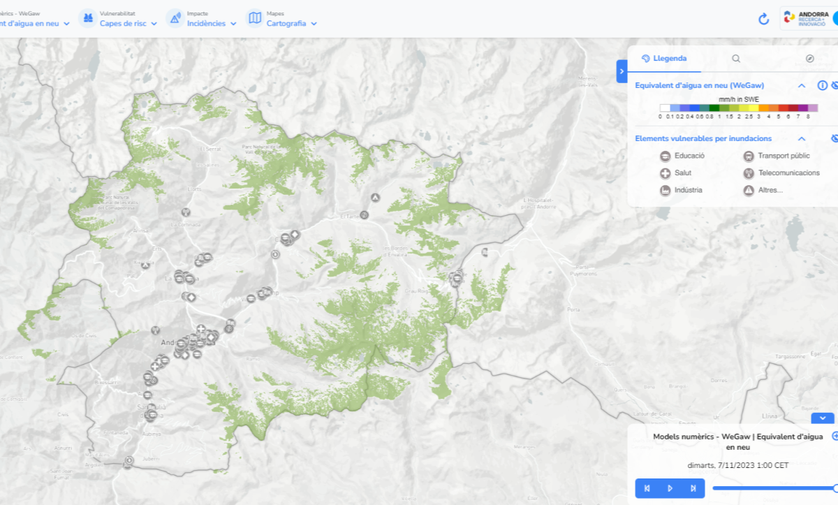
On the other hand, and in parallel, we are in the process of generating georeferenced thematic databases.
Work is currently underway on the georeferenced avalanche database, including mapping all avalanche events collected from the 2008-2009 season to the present. Work has also been done on the specific database of avalanche accidents and incidents, which was presented at the 2024 ISSW [1]. The objectives are, on the one hand, to understand why, when, and how avalanche accidents - and fatalities- occur in our country and how they have evolved in recent years; to nourish and update the Andorra avalanche inventory; and finally, to have spatial data to be able to study its dynamics. In this regard, in 2020 an article was published about the 1996 Arinsal avalanche [2].
[1] Margalef, A., Albalat, A., Apodaka, J., Pons, M., Trapero, L. “New georeferenced avalanche database in Andorra: a brief characterization of accidents over the last 60 years”. International Snow Science Workshop 2024, Tromsø, Norway, pp. 1365-1372
[2] G. Furdada, A. Margalef, L. Trapero, M. Pons, F. Areny, M. Baró, A. Reyes, M. Guinau “The Avalanche of Les Fonts d'Arinsal (Andorra): An Example of a Pure Powder, Dry Snow Avalanche”, 2020