Projects

In the Snow Lab there are currently two main work strands that focus on improving snow management and planning efficiency in ski resorts [1].
Retrack-RTK
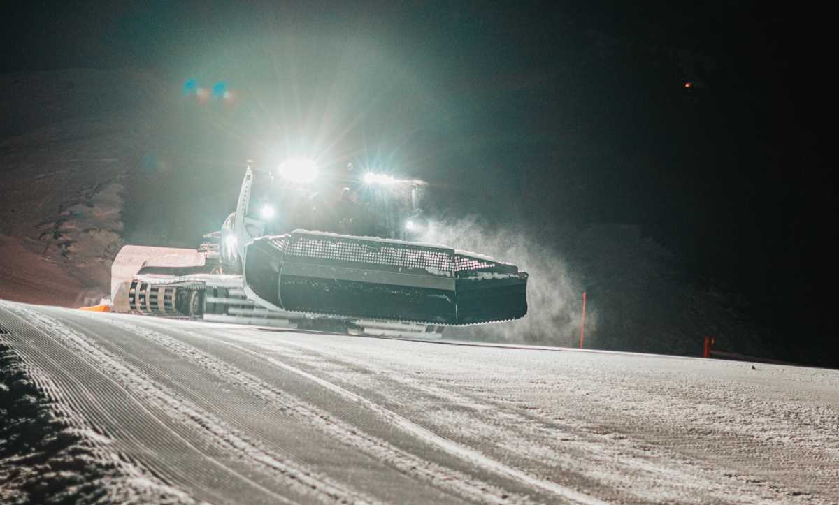
At the beginning of the 2019-2020 season, GNSS-RTK [2] equipment was installed on a grommer machine in Grandvalira ski Resort (Grau Roig sector), with the aim of validating this technology for measuring snow depth. This equipment has made it possible to track the evolution of the snow depth in the area covered by the groomer machine throughout the season. The success of the project —in which we collaborate with the company EPS Works— has led to the continuous improvement of the system during the 2020-2021 season. At the end of 2020 an updated version of the equipment was installed on a groomer machine in Vallnord (Pal sector). The update makes possible to send the measurements taken by the machine to a server in real-time and to consult them through the platform developed as a control center. Snowplanner Command is now available, a product that is currently being tested and marketed in different ski resorts.
Drone-LiDAR
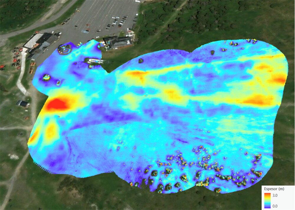
In this work strand, LiDAR (Light Detecting And Ranging) technology is integrated into an unmanned aerial vehicle (drone) with the aim of estimating snow depth at ski resorts or other areas of interest. During the 2019-2020 and 2020-2021 seasons, successful tests have been carried on different slopes in Grau-Roig and Pal. Apart from snow depth analysis, the integration of LiDAR and drone has many other applications such as forest analysis, power line inspections, etc.

[1] M. Pons et al., “Remote sensing techniques for helping decision-making in the management of ski areas,” in International Snow Science Workshop 2018, 2018, pp. 548–552.
[2] J. M. Olivart I Llop, D. Moreno-Salinas, and J. Sánchez, “Full real-time positioning and attitude system based on gnss-rtk technology,” Sustainability, vol. 12, no. 23, pp. 1–21, 2020.

 Marc Pons
 Oriol Travesset