Projects
SIGMA
The SIGMA project´s main goal is to gather and offer themed Andorran mapping generated from the country's research center.
Start date: 01/01/2001
Team:
 Roger Caritg
Roger Caritg
Work strands:
Mapping
Remote sensing
Remote sensing
Financing program:
Provision of services
Internal
Internal
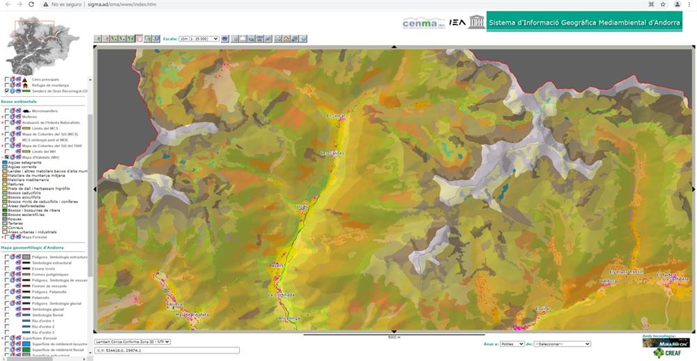
The SIGMA project (Sistema d’Informació Geogràfica mediambiental d’Andorra) is a project that began at the end of 2001 with the intention of bringing together the country's maximum thematic cartography and homogenising it in a compatible format with geographic information systems. At the beginning, the project received financial support from the United Nations Educational, Scientific and Cultural Organization (UNESCO) and technical advice from the Centre de Recerca Ecològica i Aplicacions Forestals (CREAF).
Currently, SIGMA has become the main web platform to access the thematic cartography generated from the old Institut d’Estudis Andorrans and also the place to locate the future maps generated by Andorra Research + Innovation.
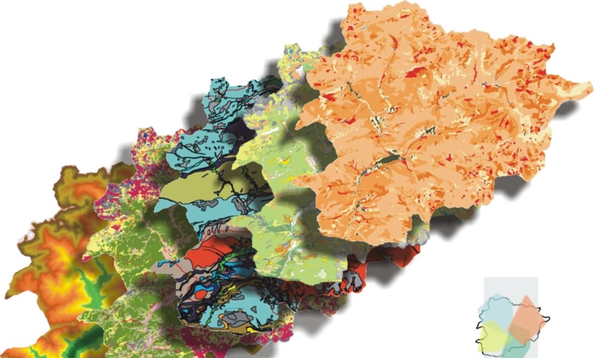
From this link you can access cartographic resources such as geological, geomorphological, habitat maps or land cover maps, among others. They can be downloaded in different GIS formats, and the respective metadata and reports can also be accessed.
At the same time, part of the available cartography can be consulted from the map viewer.