Projects
PERMAPYRENEES
Permafrost in Pyrenees: the changing mountain.
Start date: 01/01/2024
End Date: 31/12/2026
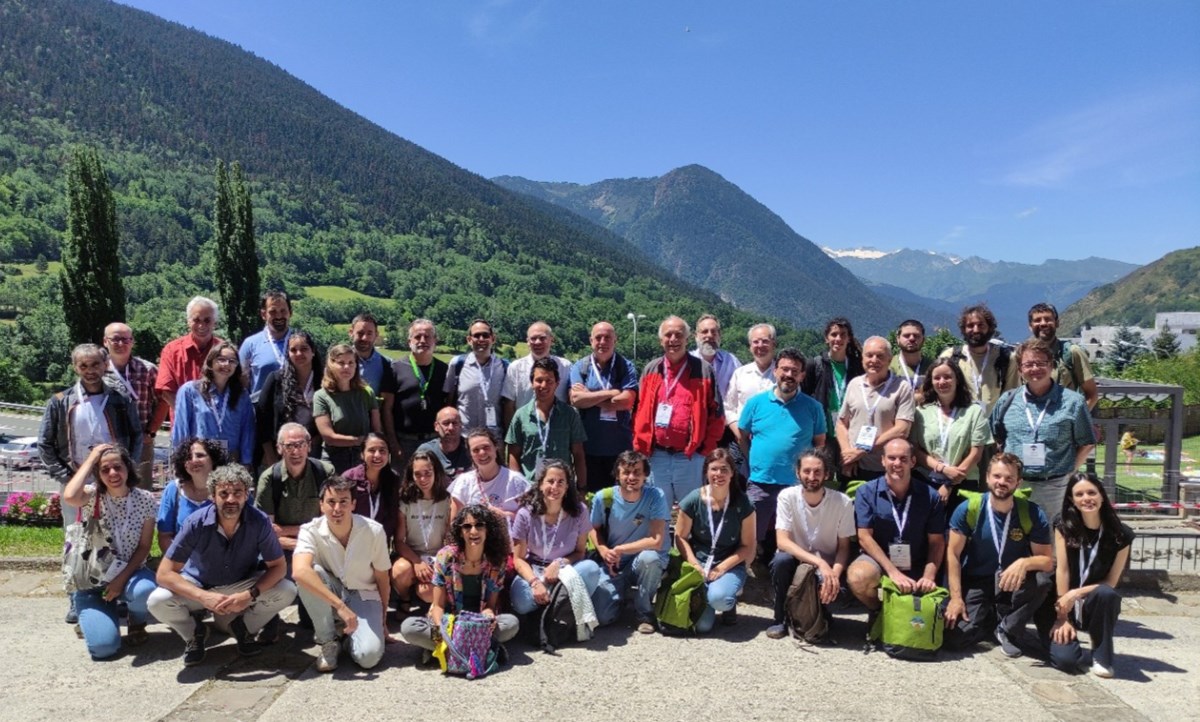
Team:
 Aina Margalef
 Anna Echeverria
Aina Margalef
Anna Echeverria
Work strands:
Global change
Geology
Geology
Financing program:
Interreg POCTEFA
The Permapyrenees project (acronym for "Permafrost en Pirineos: la montaña cambiante") has been programmed in the 1st call of the cross-border cooperation Interreg POCTEFA 2021-2027 programme (project EFA063/01). It is a three-year project and is led by the University of Barcelona. Andorra Research+Innovation participates as a project partner on the Andorran side.
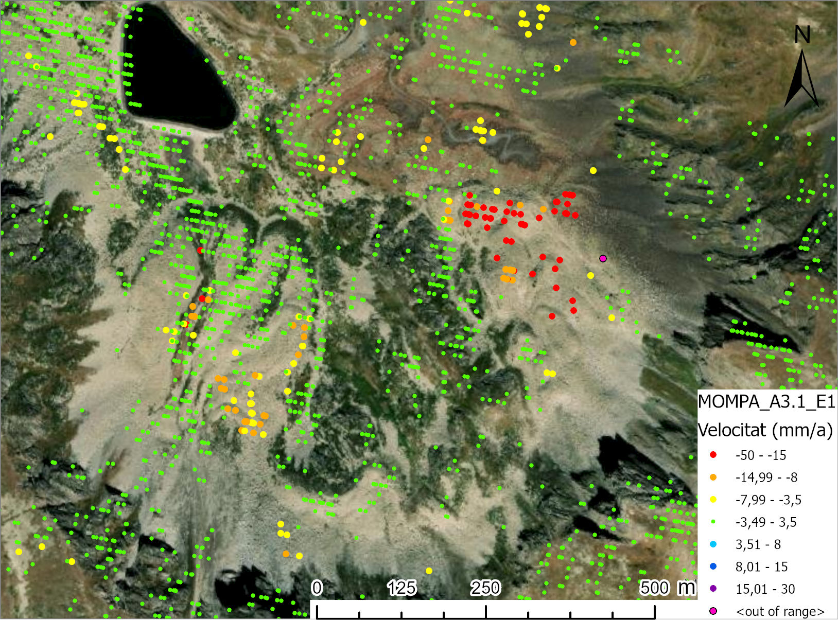
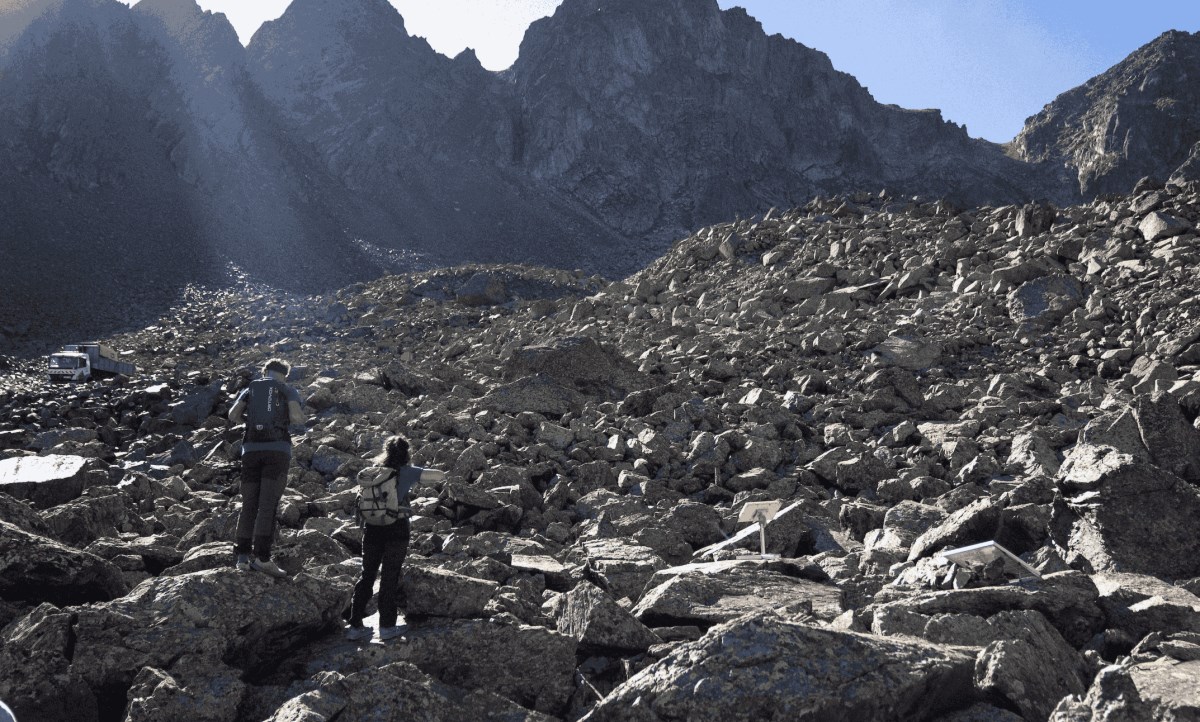
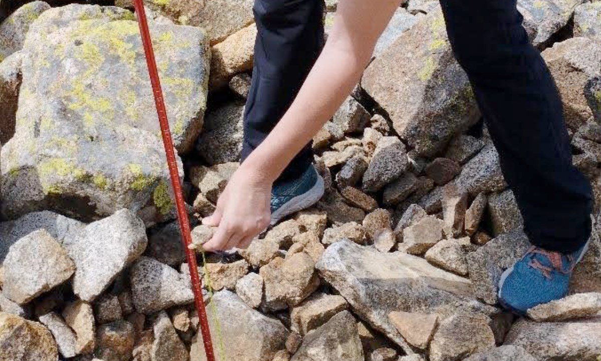
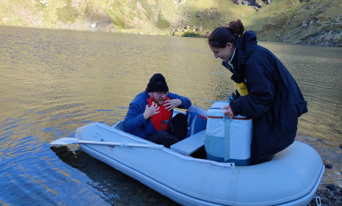
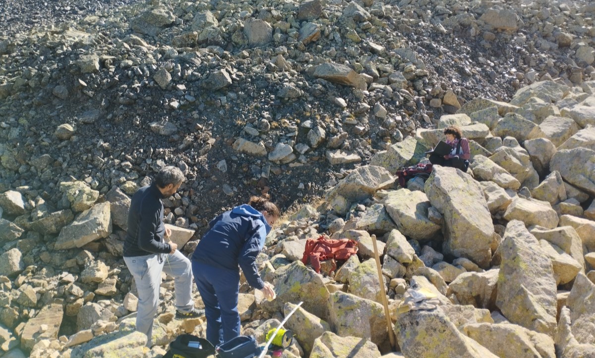
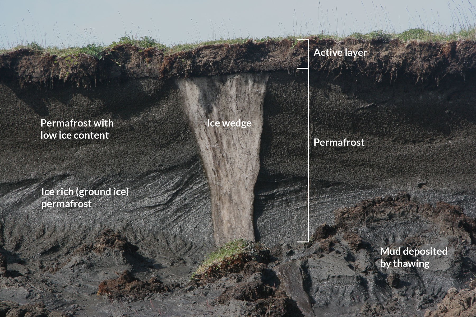
In Southern Europe, the cryosphere (snow, ice, permafrost) of the Pyrenees is undergoing the most significant impacts, through hydrological, geomorphological, and environmental processes. The components of the cryosphere interact as reliable indicators of climate change and are easily noticeable by society. The recent warming trend has resulted in a decrease of the snow cover and the expected disappearance of the Pyrenean glaciers. These changes in snow and ice are being carefully monitored through multiple initiatives and projects on the supra-national scale of the Pyrenees. Despite these efforts, little is currently understood about permafrost (frozen ground), except that it is typically found in the highest elevations of the mountain range (>2600 m). Information on its recent behaviour and potential response to future temperature increases is even scarcer. The study of permafrost will provide new indicators for monitoring the impact of climate change on the cryosphere and aid in foreseeing risks arising from its degradation, such as slope instability (rockfalls) and moraine collapses. These risks have significantly impacted local infrastructures (routes) in crowded mountains like Aneto and Vignemale.
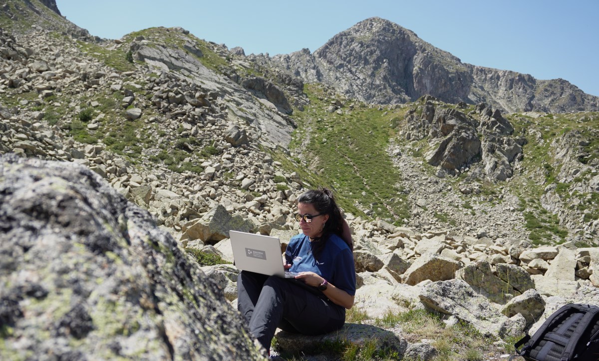
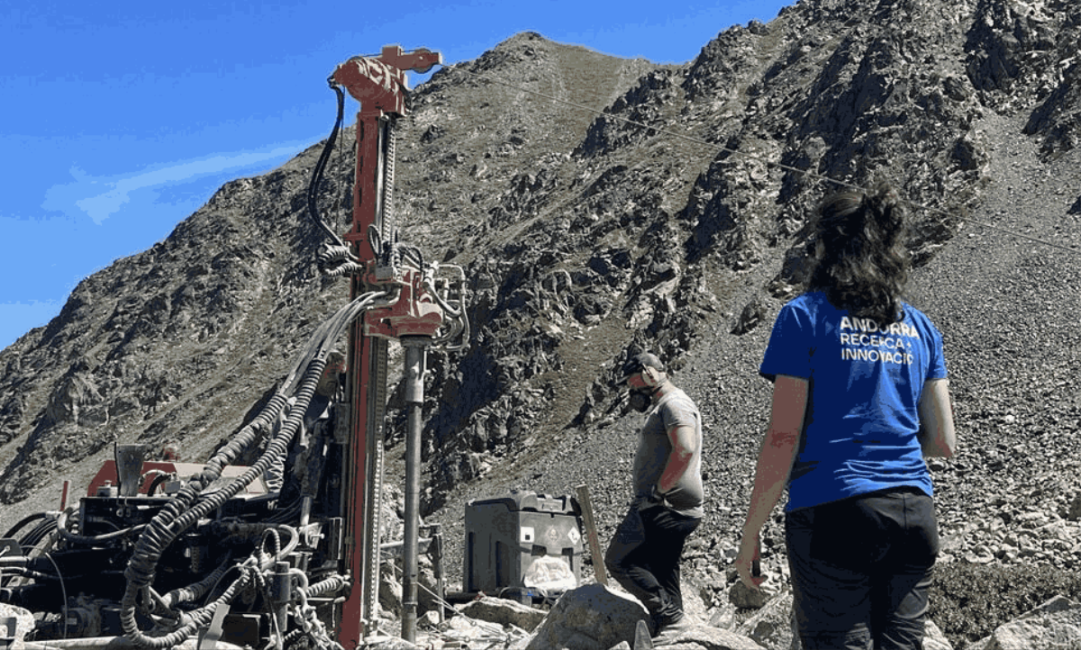
PERMAPYRENEES brings together experts from different regions of the POCTEFA territory to use innovative in-situ and remote monitoring methods to detect permafrost and any associated instability. Furthermore, a series of narrow and deep drilling operations will be conducted to monitor permafrost in the highest massifs. This monitoring network is one-of-a-kind in the Pyrenees and will be integrated into global permafrost datasets.
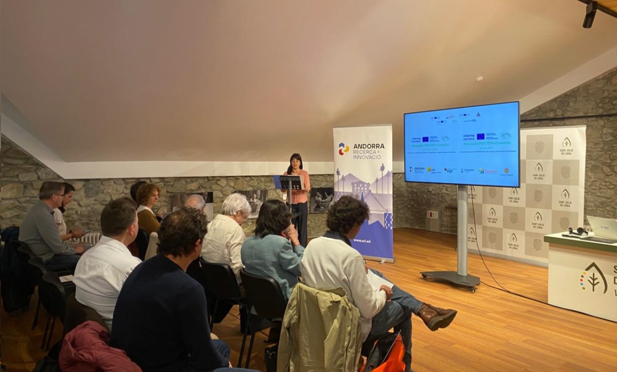
The project aims to launch a comprehensive campaign to spread awareness about the impacts of climate change in the Pyrenees. It also pretends to provide reliable information to land managers and planners so they can take action in areas with dense populations and infrastructures at risk due to permafrost degradation.