Projects
Geological Map of Andorra
Geological mapping of Andorra on a scale of 1:25.000.
 Aina Margalef
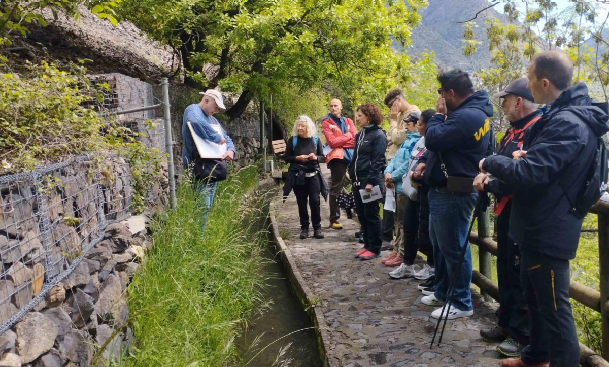
This project began in 2000 with the aim of drawing up the geological cartography of Andorra on a scale of 1:25,000. Geological mapping is very useful for all types of studies related to soil and subsoil. Detailed knowledge of the stratigraphy and structure of Andorra's rocks is essential when preparing studies on subjects directly related to geology, such as hydrogeology, geotechnics, engineering, geological risks, mining and geothermal energy. On the other hand, it is also essential in studies in areas as diverse as botany, soil contamination or archaeology, among others.
As of today, the entire territory of Andorra is available at a scale of 1:50,000, and the digital cartography is available on the SIGMA website. Additionally, a scientific article featuring the 1:25,000-scale map has been published and can be accessed open access in the Journal of Maps [1].
.jpeg)
In 2015 two doctoral theses related to the geological mapping of this project were presented [2] [3]. The results and knowledge obtained from this project are useful for providing geological information to government initiatives. Geological mapping has also been useful for working on international research projects [4].
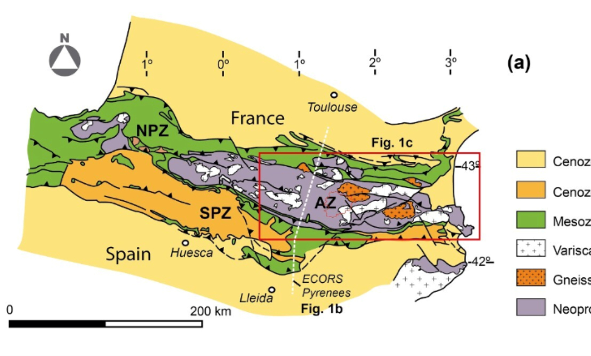
In collaboration with the Geomodels Research Institute of the University of Barcelona, geological cross-sections have been produced with the aim of understanding the structure of the rocks of Andorra and their relationship to the structure of the Pyrenees [5]. Several sedimentary and igneous rocks have also been sampled to further advance our understanding of the chronology of deformations [6].
.png)
[1] A. Margalef, P. Clariana, J.M. Casas, J. García - Sansegundo, "Geology of the basement rocks of Andorra, central Pyrenees", 2024.
[2] P. Clariana, “Estratigrafía, estructura y su relación con el metamorfismo de la Zona Axial pirenaica en la transversal del Noroeste de Andorra y comarcas del Pallars Sobirà y el Alt Urgell”, 2015.
[3] A. Margalef, “Estudi estructural i estratigràfic del sud d’Andorra”, 2015.
[4] P. Clariana, A. Margalef, J. García – Sansegundo, JM. Casas “Estructura de los materiales prevariscos de la Zona Axial pirenaica en la transversal de Andorra”, 2019.
[5] A. Margalef et al. "Superimposed Variscan and Alpine deformation in the basement rocks of southern Andorra, central Pyrenees", 2023.
[6] A. Margalef et al. “Detrital zircons from the Ordovician rocks of the Pyrenees: Geochronological constraints and provenance”, 2016.