Projects
AFOLU
We study Land cover evolution using satellite imagery to quantify changes in the sink capacity of the Andorran territory.
Start date: 01/01/2018
 Benjamin Komac
 Meritxell Martin
 Roger Caritg
Work strands:
Global change
Mapping
Remote sensing
Mapping
Remote sensing
Financing program:
Provision of services
AFOLU is the acronym for Agriculture, Forestry, and Other Land Use. Since 2018, Andorra Research + Innovation has launched a project in this sector at the request of the Office of Energy and Climate Change (OECC) of the Andorra Ministry of Environment, Agriculture and Sustainability.
The Agriculture, Forestry, and Other Land Use (AFOLU) sector includes studies and monitoring projects conducted by countries to determine their greenhouse gas emissions, called GHG, and carbon stocks. From a global perspective, the AFOLU sector is responsible for 24% of global greenhouse gas emissions, CO2, CH4, and N2O.
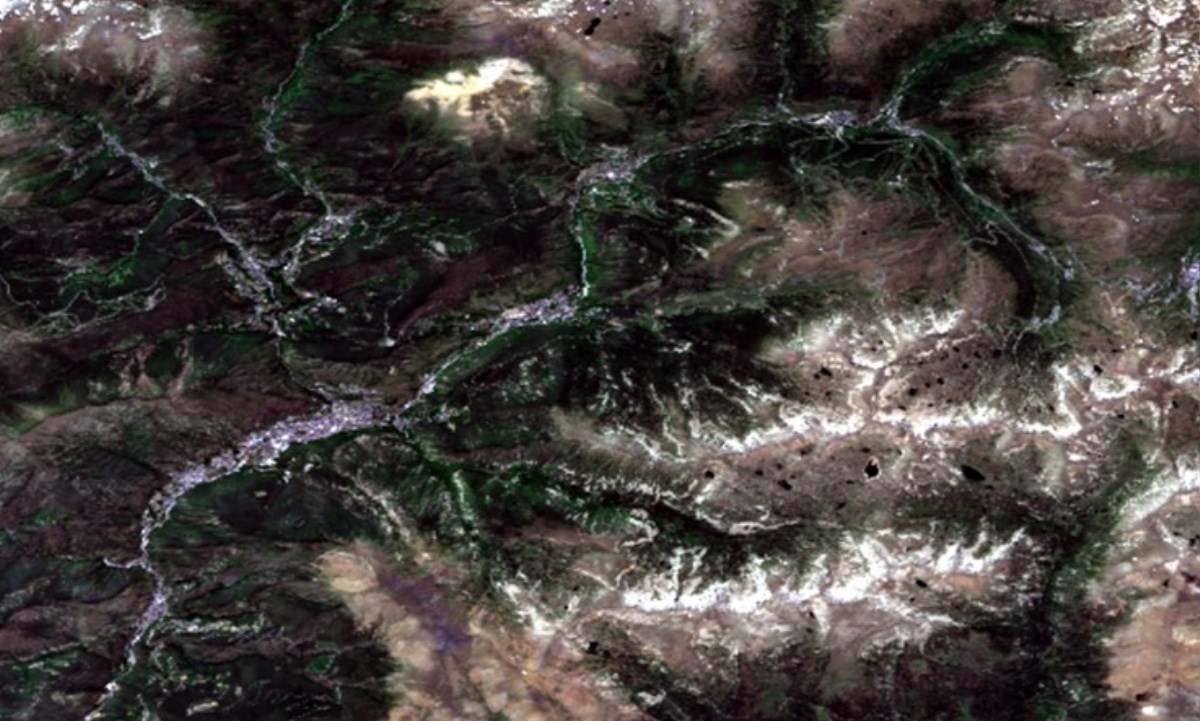
This particular project is based on the creation and definition of a suitable methodology to know the annual land cover in the national territory and to quantify the changes that occurred between 1970 and now. To do this, AR+I generated annual land cover maps based on satellite imagery. These maps allow us to analyse the land cover evolution.
The objectives of the project can be summarised in the following points.
- Obtaining Andorra's satellite photo database. The first images correspond to Landsat 1 in 1972, when the first Landsat program satellite was launched.
- Generating the necessary mapping to study the annual change of land cover in Andorra from 1972 to the present day based on satellite images. The maps include six land use categories, according to the classes defined in the AFOLU sector.
- Quantifying land cover evolution using change matrices and presenting a table summarising the annual results for each category.
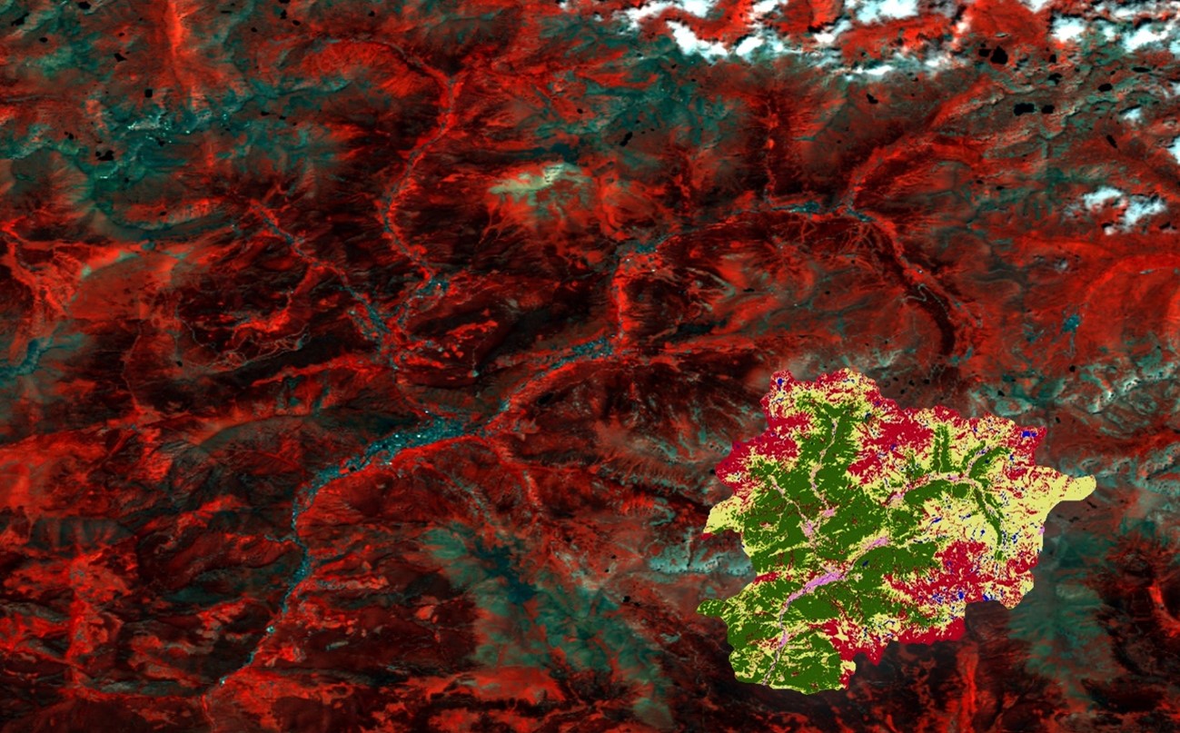
AR+I developed the methodology under the initial supervision of Dr. Jordi Inglada (BIOsphere Spatial Studies Centre - CESBIO). It is based on the semi-automatic creation of annual maps using specific training areas for each of the six categories. The maps obtained were then corrected with the 1972, 1995, and 2012 land cover maps, which were manually digitized in greater detail.
Images from Landsat, SPOT, and Sentinel 2A and 2B satellites have been used to complete the project, as they have certain requirements that make them suitable for the study:
- They cover all or part of the Andorran territory.
- They have a spatial resolution detailed enough to be able to distinguish the six categories on which the annual land cover maps are based.
- Their temporal resolution (number of images) is good enough to have several images of the same place for one year.
- These images are freely available from their download website.
The results will allow the OECC to measure the country's sink capacity and evaluate its evolution. They will also provide basic information for the relevant reports required by the United Nations.
In 2025, a new methodology was implemented, established by the FAO (Food and Agriculture Organization of the United Nations), with the clear aim of homogenizing the criteria and typology of results among all countries.
[1] Caritg, R.; Martin, M. “Informe tècnic del projecte AFOLU” Andorra Recerca + Innovació, 2022. (Informe intern).
[2] FAO, 2015. Estimación de emisiones de gases de efecto invernadero en la agricultura. Organización de las Naciones Unidas para la Alimentación y la Agricultura.
[3] AFOLU, 2013. Requerimientos AFOLU (Agricultura, Silvicultura y Otros Usos del Suelo). Verified Carbon Standard – VCS.